|
CHEMIN DU ROY |
|
|
CHEMIN DU ROY |
THE ROAD TO QUEBEC
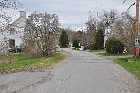
I'm back on the modern Highway 138 after leaving Neuville just now, and I'm still looking for vestiges of the old "Chemin du Roy". This turning here to the right, the rue des Ilets, looks quite an interesting possibility and so I am tempted down there for a look.
What I find is that the road takes a right-hand turn, and then another, and then a third,and I find myself back where I started. There were one or two places where in principle there might possibly have been a road at one time or another, but it's very difficult to say now with any kind of precision, especially now, seeing that everywhere down there is all built over with new houses.
But then again we've seen the alternative, which is to follow the course of the modern road up the bank here, over the steep headland and then back down the other side. We know that Lanouiller did just that at Cap Sante but he didn't have the room to manoeuvre with there being no flood plain. Here, the flood plain is quite wide so he didn't have the same constraints.

However, a short distance on, we do find a sign for the Chemin du Roy telling us to turn to the right. So that's something.
There was another sign just there too and that could hardly fail to escape anyone's notiice. It reads "Welcome to Quebec, the National Capital". I did make a note to remind myself to say something derogatory about it, but I'm sure that you don't need any help from me to think of your own remark.
A short while later though, I am reminded that there was once a "Cherokee Nation" - didn't Don Fardon sing about it? In fact, the various tribes of Native Americans described themselves as "Nations".
So maybe that's the key to this. But I do wish that the good burghers of the city of Quebec would have amplified their sign to let us know exactly of what nation they consider their city to be capital.
Having written the above "off the cuff", as it were, further research did bring to my attention the fact that there was (and maybe still is, for all I know) some kind of Movement in Quebc in the 1950s that described the outcome of the Confederation as "Two Nations In One Country".
So maybe I shouldn't knock this idea of "the National Capital".
It's not an unusual situation either. In my own country, the authorities insist that there is nothing north of the M4 except sheep and Druids, and a handful of peasants living in caves. They are afraid to travel north unless they are surrounded by native bearers and haven't spent a shilling of the national wealth there since the 16th Century. And then of course there is Palestine and they will tell you that there are two nations there too - "the Zionists and the Untermenschen".
Talking of the Zionists however, it does make me wonder where on the great scale of things this "Two Nations In One Country" idea leaves the First-Nation Canadians. It seems that those Quebecois from the 1950s have completely forgotten all about them.
Not that that surprises me, of course.
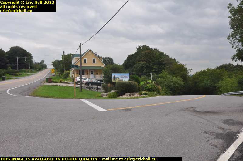
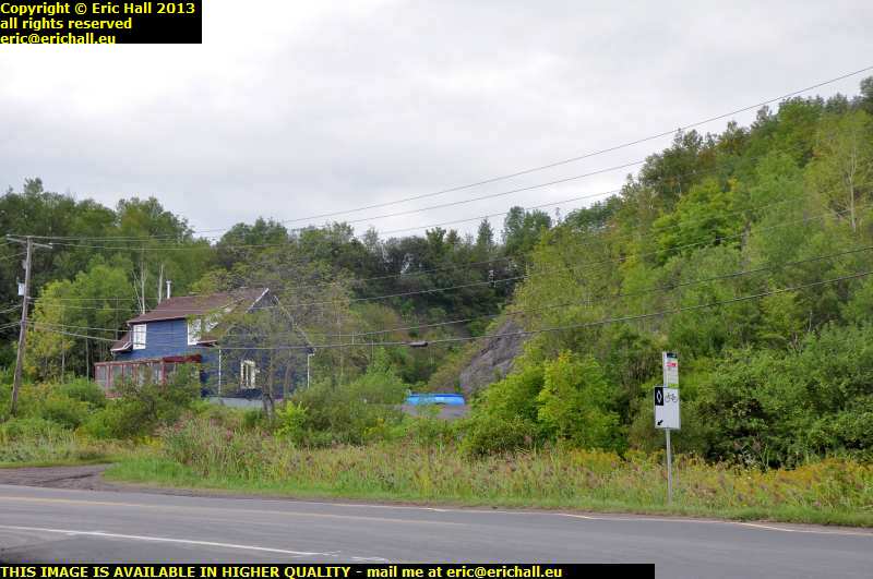
So abandoning yet another good rant ... "for now" - ed ... and returning to the Chemin du Roy, I take the signposted road and there's an immediate left-hand bend, but there's this road that comes in on the right hand side. You can see the ditch on the right-hand side (Lanouiller loved his ditches) and the line of mature trees. The stone building in the background is also very suggestive.
If the rue des Ilets had been something to do with an old trace of the Chemin du Roy I would not have been surprised to have seen a continuation of the former ending up round about here.
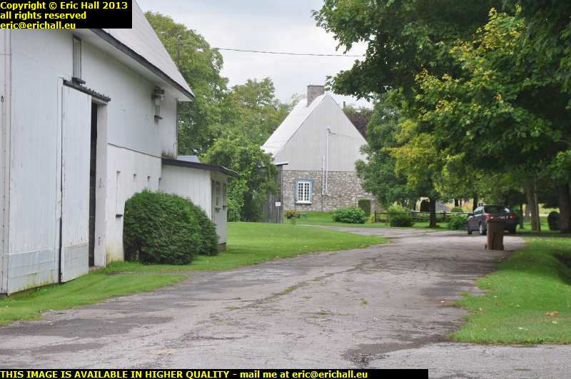
The road that we want to follow however turns to the left as I mentioned earlier, and so we are going to be driving this way.
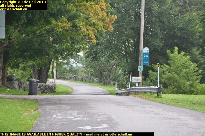
There's some beautiful old cedar rail fencing just down there and we also know that Lanouiller was a big fan of cedar too, specifying it as his choice of wood on many occasions in connection with the building of the road. That was probably because cedar lasts almost for ever and we have seen some wonderful examples of this during our travels around North America.
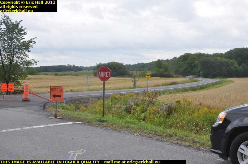
But a mile down the road there isn't a hidden cave but a big disappointment. The Chemin du Roy bears off to the right here and in fact in the distance you can see the sign, but we have encountered roadworks instead. We're obliged to turn to the left, and so we do. And this brings us back to the modern Highway 138.
Still, never mind. I shall just have to come back next year for another look at this little piece of road, always assuming that the Septics haven't done anything to wipe us all out by then.
Right - it's "Awards Time". Clear the decks, roll out the Red Carpet, fetch the trophy, find a visiting member of Royalty.
And I'll include it here even though it's not probably in the correct place, but this is something that I saw in 2012, but in 2013 I was looking down so many different side roads that I didn't remember going past it.
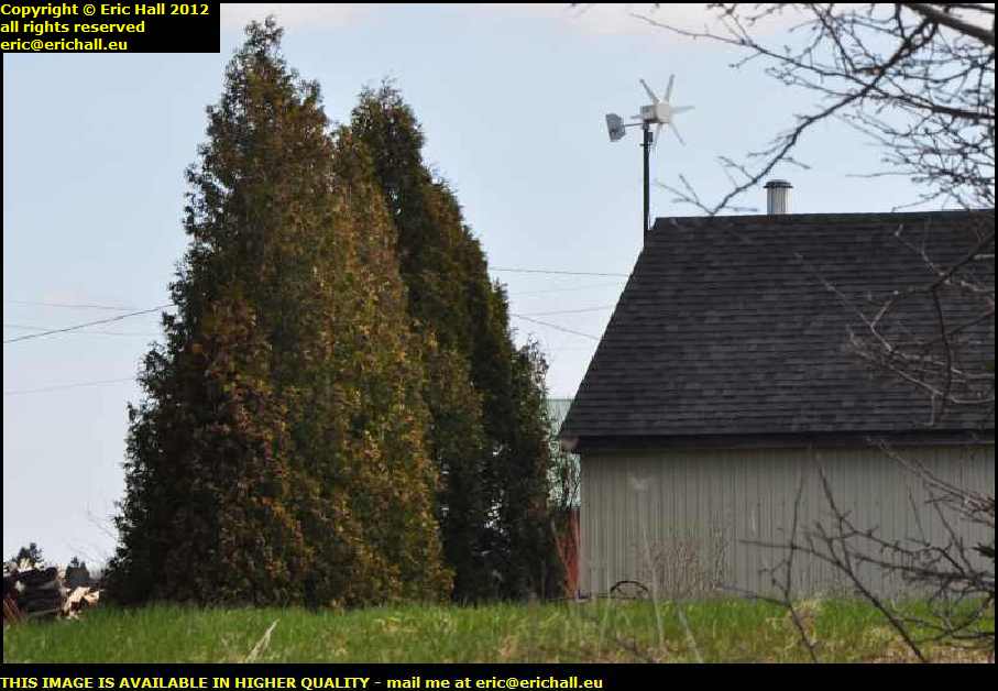
But here we are, about 2 kms west of St Augustin, people, and this is the first wind turbine that I have seen along the banks of the St Lawrence here in Québec.
We all recognise the make and model don't we? We have of course seen one of these before and while I agree from my own experience that it's not the kind of wind turbine that will set the world alight, it's a start and if everyone along here had one, then it would contribute a great deal, both in cutting down on carbon emissions and on making quite a saving to your energy bills (and ask me how ).
If you've read much of this travel report so far, you will have noticed that I have been constantly amazed by two factors -
Firstly … the amount of wind that is blowing all along the St Lawrence Valley
Secondly … that no-one, apart from this person here near St Augustin, is taking advantage of it.
So whoever you are, take a bow!
The diversion sign had me turning right again off the main road a little further on by a shopping mall where there was a supermarket. "Just as well" I mused to myself. "I'm getting rather low on food"
And why is shopping in North America so boring? Well, when you've seen one bunch of shops, you've seen a maill.
I'll get my coat
So having stocked up on the food and some more root beer, and knowing that I can now eat and drink for the next few days, I'm back on the road and this brings me out to a T junction.
To the right is all blocked off by the roadworks to which I referred half an hour ago, but to the left I see a sign for the Chemin du Ro, so I know that I am in the correct place. We can therefore continue our journey.
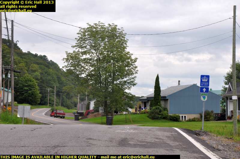
We aren't on this little road for very long before we are brought back onto the modern Highway 138 where we have to turn right. But then just a short way further on, the signs for the Chemin du Roy have us turning off to the right again.
You can see the road just 100 metres on down the hill on the right, with its little sign in attendance.
At least things seem to be a little better-signposted around here than they have been ... "famous last words" - ed.
But then this got me to thinking. You saw in the previous photo that there was a house driveway that came into the Highway on our left just opposite this turning. I'd also noticed that when we picked up the main highway a little further back and turned right, ther ewas a kind of house-driveway that carried on in roughly a straight line.
This made me have a good look at the driveway that I had just encountered, and it did indeed curve around to the left.
Now, if the earlier driveway had curved around to the right, which it seemed to do, the two might possibly meet up, and so what we would have here would be a meander that could at one time have been part of a trace of the old Chemin du Roy.
I can see that I'm going to have to put a great deal of effort into trying to track down a copy of Lanouiller's original map with the route of the original highway.
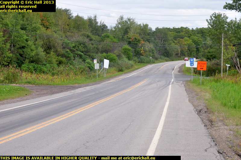
So here I am crowing to myself about the improved signage around here, and then I encounter a recently-built roundabout at the foot of the hill (not ANOTHER roundabout in North America - GRRRRRRRR!). And here, we have no sign telling us which road to take.
I box the compass, driving down each exit in turn, to see whether there's any clue, but of course there isn't at all and it seems that the Chemin du Roy has simply disappeared.
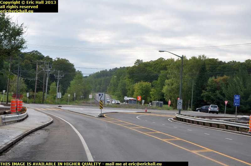
However, feeling totally bemused, I happen to glance over my shoulder and, sure enough, I see the sign for traffic that is making the journey from east to west.
So now I know! It's the first exit off the roundabout that is the continuation of the Chemin du Roy if you are travelling as I am from west to east.
It's around here that the Chemin du Roy becomes indistinct. Modern road systems and housing estates seem to have swept away everything in the outer suburbs of Québec. It's only after many manoeuvres and manipulations and a sharp left turn that I find myself travelling east on the rue St Felix, once more on the Chemin du Roy.
But thinking that Lanouiller would not have had his diligences doing these kinds of manoeuvres, I go for a wander down the rue St Felix to the right to see if this might at some time have had something to do with the Chemin du Roy. What I find instead is a closed-off road.
Yes, I can see that a copy of Lanouiller's old map would have plenty of uses. There must be some local archives somewhere that might have survived the many conflagrations for which the whole of Canada is famous, where I might be able to find a copy of Bécancour and Lanouiller's original survey, and then have a go at chatting up the archivist to see about liberating a copy.
I should also consider equipping myself with a pushbike for next year. That would have its uses too.
©